Mapping
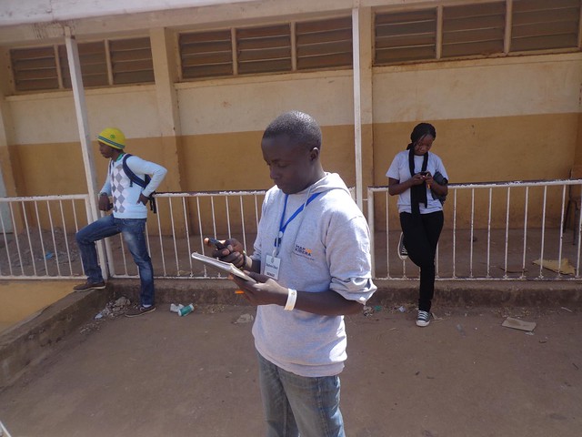
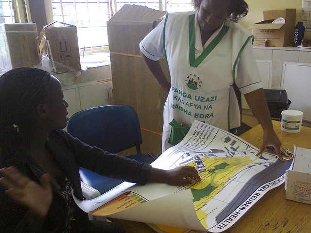
How it works: Our mappers are all young community members, residents of the places we work – primarily, the slums of Nairobi. They collect data with GPS devices, they work with computers to edit and upload the map information, and they are also learning to do more complex cartography and GIS. Mapping may include surveys of the general features of the slum or other community – like pathways, clinics, water points and markets – or might get into a great deal of detail in one subject – say, health mapping. In that case, surveying can include not just chemist locations but also hours of operation and kinds of services offered. We focus our maps on public information – we do not work (usually) with private data such as household information, because we want to publish and share as much as possible in the community. See Methods for more about how we work with maps to make a difference.
Meet our Mappers
Voice
Map Kibera uses tools which we call “Voice” - because they are all about amplifying the voice of the community. Our programs currently use blogging with Wordpress and Ushahidi software to report on issues that affect the community.
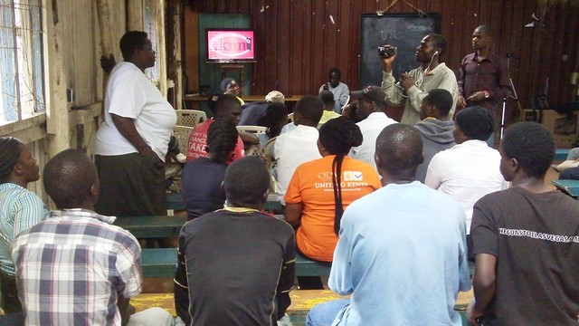
 How it works: A team of reporters works in each slum, editing the sites and writing articles and reports as well as illustrating with photographs. The teams report about anything and everything that is of relevance to the community, including breaking news, critical issues, and lesser known local efforts and talents. We use SMS integration with our Ushahidi sites so that residents and our own reporters can text in news for our editorial team to review and post to the sites. During critical events we recruit volunteers to help submit reports and we invite anyone to send in an SMS to our number including the word Kibera or Mathare to indicate location.
Meet our Voice Team Members


