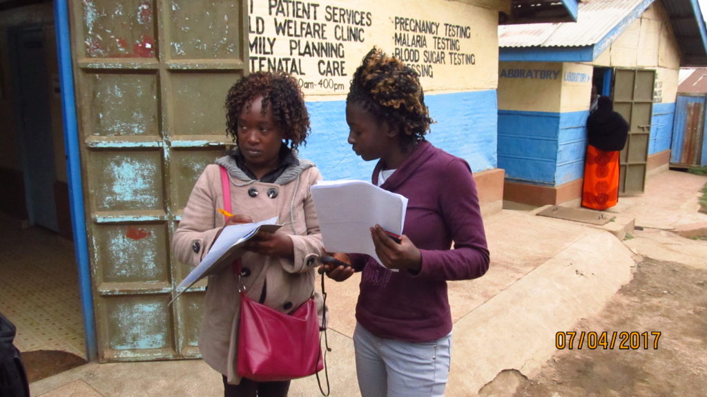
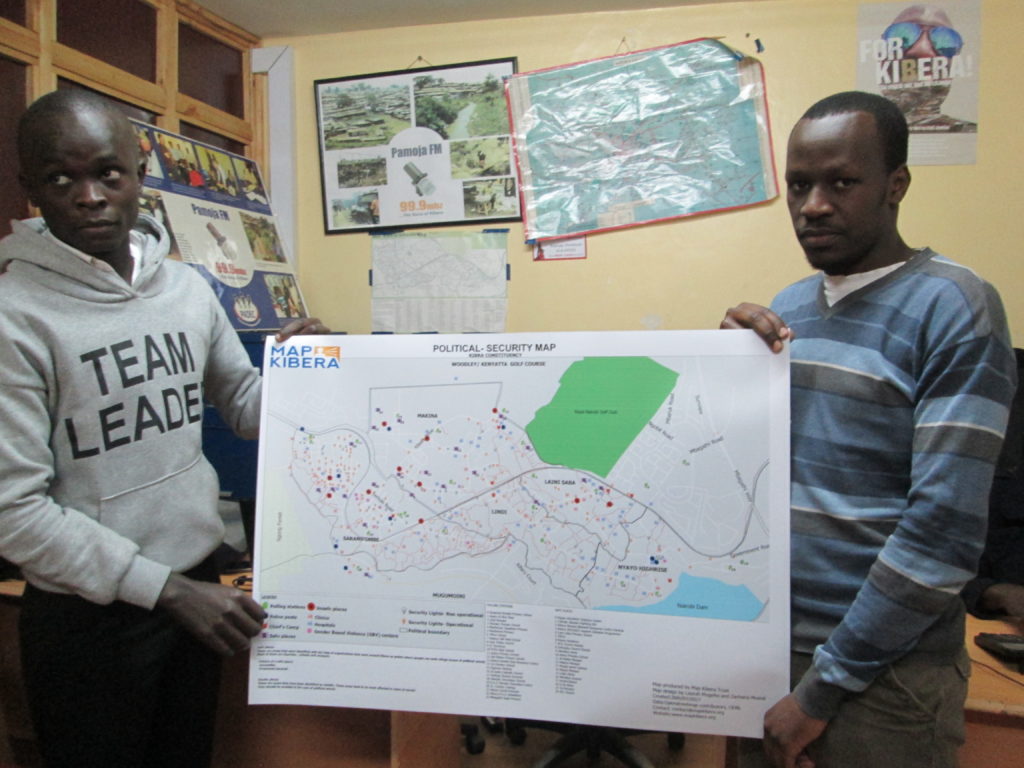
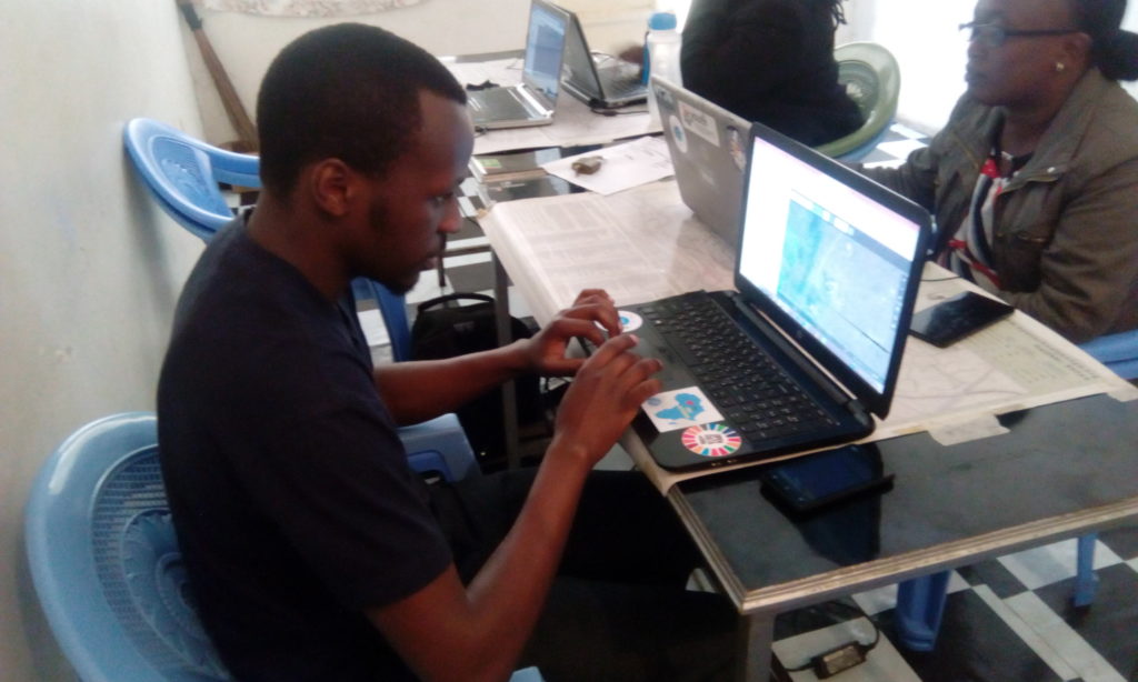
As part of the internship we are having at Map Kibera Trust under the YouthMappers programme, one of the activities that we were involved in was the Security Mapping project in the months of June and July.  The project was aimed at highlighting the areas of concern within the region owing to the fact that it was an electioneering period in the country, and there was a need to update the security map since the last time it was updated and used was during the 2013 elections. Some of the features that we were going to map were safe and unsafe areas, street lights, health centers and police posts within the area.
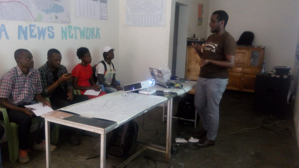
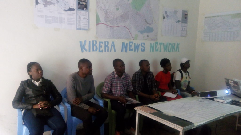
Prior to the mapping exercise, we had a training session at our offices under the leadership of Zacharia Muindi, our Mapping coordinator and team leader. In the training we were trained on how to use the GPS in collecting data and other tools like the questionnaire and camera. We grouped in twos, with local volunteers who had adequate knowledge of Kibera. The training went on well and we had a few practicals before heading to the field, this was to ensure that the tools were working and everyone was on the same page.
The mapping experience was interesting and challenging at the same time. The interesting bit of it included working with the locals and getting to know the vast expanse of Kibera, which was actually intriguing. We also noticed that some areas were unique and different in terms of development; areas like Nyayo Highrise and Fort Jesus had modern housing and well planned infrastructure. On the same note we also realized other areas that were still lagging behind in terms of development like Mashimoni and Lindi Ward. However, the mapping exercise was also challenging-moving around the area was physically demanding. Despite of the challenges we all managed to capture all the points (data) that we intended to collect.
From there we computed the data we collected using OSM editing tool Java script OpenStreetMap (JOSM) and uploading the data into OSM. What followed was designing of the Security Map and printing them out for distribution. The distribution exercise went on well and the maps were well received by most of our recipients such the D.C, AP inspector general, local NGOs that are working around peace initiatives in Kibera and the local community members. Through the interactions with the map and explanations from the team they were able to interpret the data very well and they acknowledged that the map is going of great help to the work that they are involved with.
This is a guest blog post by Peter Agenga and Phylister Mutinda, interns with Map Kibera from the Youth Mappers chapter of the University of Nairobi.
