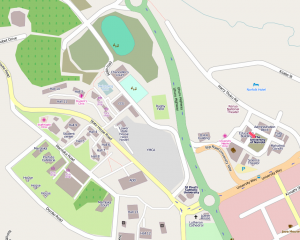
Raoul Klapp, a geography teacher at the Athénée de Luxembourg, a secondary school in the Grand-Duchy of Luxembourg, got in touch earlier this year to discuss his lesson plans for his geography class.
I was amazed by the work that the team has carried out and by this pioneering idea in slum GIS cartography. Since I teach a so-called ‘netbook class’, a pilot-project in Luxembourg, in which each student uses a netbook as a digital enhancement to conventional classroom activity, Map Kibera, through its webpage and lively blogs, convinced me that it could be an amazing opportunity to provide my students with a hands-on, real-world geography/GIS experience and show them how people could raise national and international awareness.
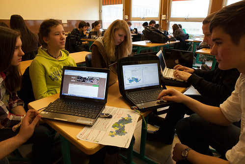
As we were already covering the issue of sustainable (urban) development in class, my 10th grade students (aged 15-17) expressed great interest in getting involved in Map Kibera and doing research on amenities present in Kibera by using GIS software (QGIS) with the perspective on doing their part in helping the people and community of Kibera and the Map Kibera team.
Awesome! All the data Map Kibera collects is available in OpenStreetMap, and extracts downloadable. So, combined with stories published on Voice of Kibera, Kibera News Network, and other sources on the web, the students were able to use both open data and open source software in their class. Such a collaboration could easily be replicated with other schools … especially right here in Kenya!
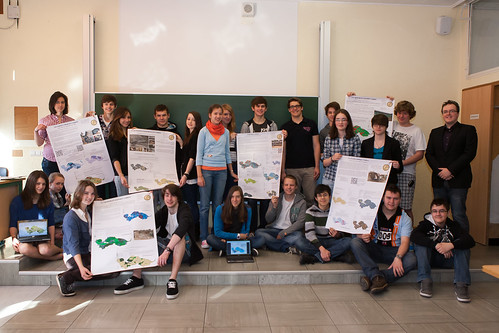
Last week, Raoul shared the results.
My students enjoyed doing the work a lot! I am currently evaluating their feedback – seems strikingly positive so far.
They very much liked the fact that they could help out *real* people with an issue connected to the *real* world an not only doing arts for arts’ sake.
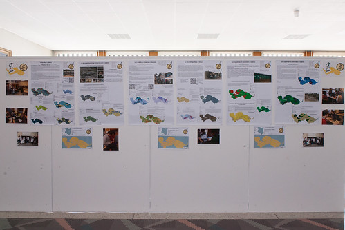
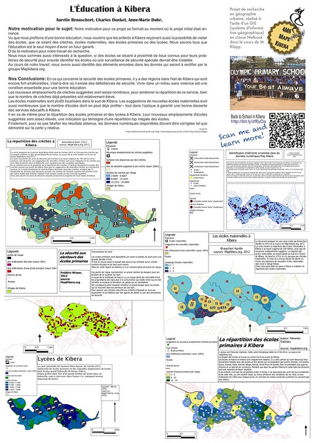
All of the student posters, and photographs, can be accessed on dropbox. They are mostly in French; going to look into printing out a couple for the walls of the Map Kibera office.
Next Semester
The class project received positive feedback from all, so is developing further in the next school year. Our suggestion is to focus on other parts of Nairobi, like Mukuru and Mathare, where Map Kibera has initiated new mapping efforts, and where there is much less attention generally than Kibera.
It’s exciting that young people from very different parts of the world, from the slums of Nairobi, and the classrooms of Luxembourg, can collaborate so easily with today’s technology. There is so much opportunity for this to expand, to other classrooms and other cities. Map Kibera welcomes more chances to connect. Hoping the students from Luxemborg join Map Kibera’s Facebook group and make friends with the team here.
Very much worth pointing out that there is no reason at all the collaboration needs to be so distant. It’s likely that these students now know more of the facts about life in Kibera than most Kenyans! Several conversations this week in Nairobi show growing interest in substantial technological engagements in the classroom. Perhaps the curriculum Raoul is developing could be shared and jointly developed with Kenyan classrooms, and lead to connections right here across the country.
