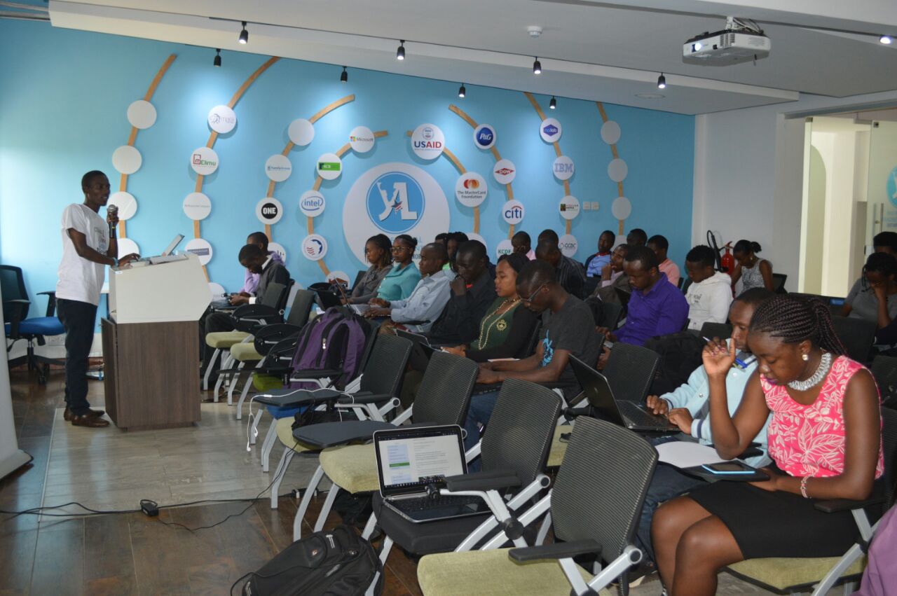
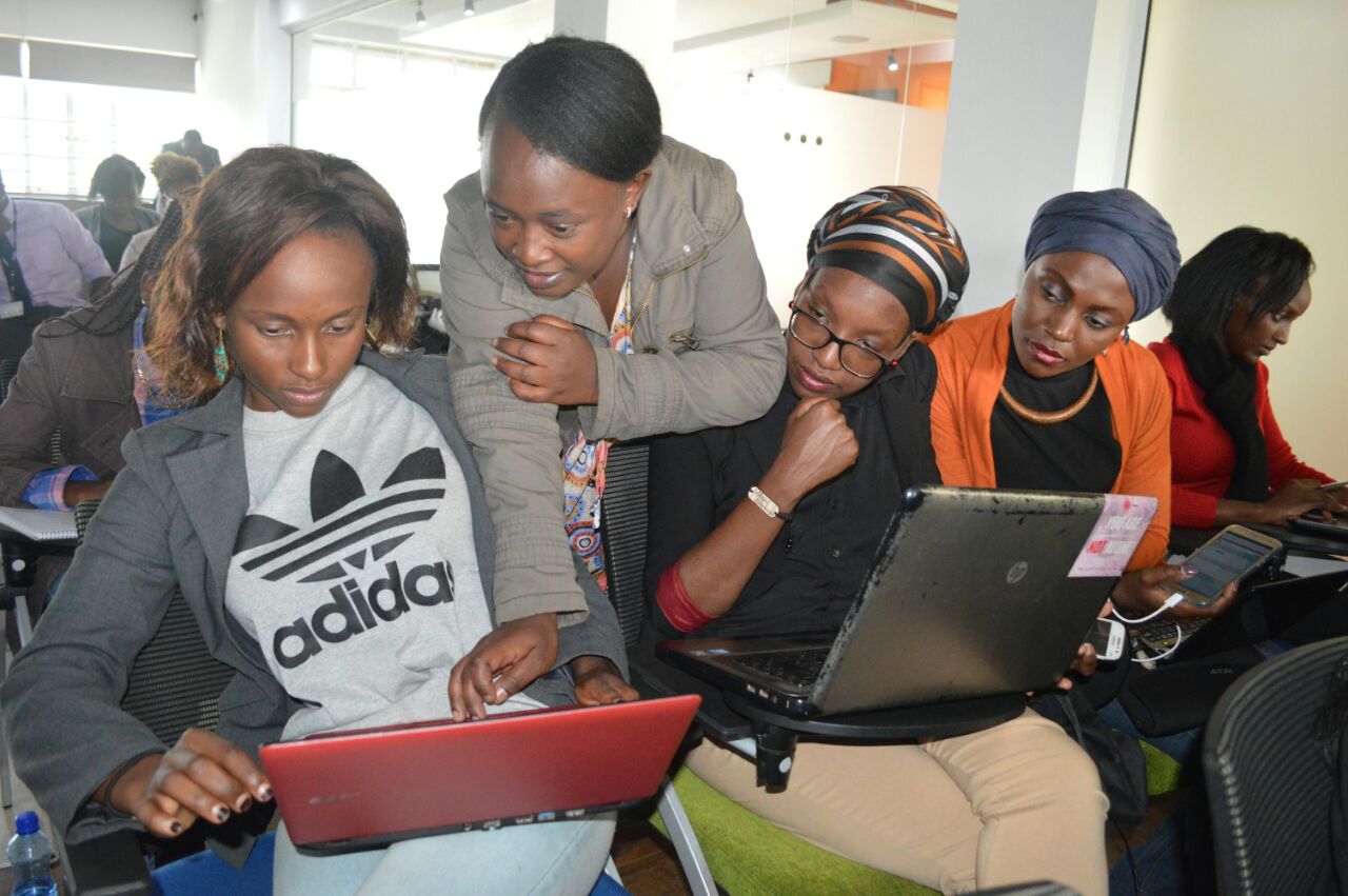
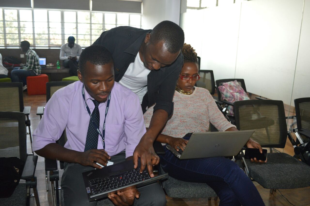
A Mapathon was held at Young African Leadership Initiative Regional Leadership Center in Kenyatta University, Kenya on June 27, 2017. It brought together Youth Mappers and participants from YALI Alumni, The University of Nairobi, Dedan Kimathi University, Jomo Kanyatta University of Agriculture and Technology and Kenyatta University. The event was facilitated by Map Kibera Trust and hosted by YALI.
The Mapathon was aimed towards contributing in a mapping project to assist in the fight against AIDS and Malaria in Siaya (Bondo) using OpenStreetMap. The Mapathon is designed to improve availability of geographic data for programs supported by PEPFAR, (U.S. President’s Emergency Plan for AIDS Relief). The Mapathon also took place in advance of a high level conference in Nairobi on Data for Sustainable Development in Africa which was organized by The Global Partnership for Sustainable Development, which brought together participation of senior government officials across the region and globally.
What is a Mapathon? It is a coordinated mapping event where the public is invited to make online map improvements in their local areas as well as areas across borders to improve coverage and help in areas such as disaster risk assessment. Mapathons basically use online sites for storing map data. In our case we use OpenStreetMap. Mapathons also help in contributing to missing maps as well as being a unique and engaging opportunity for volunteers to digitally connect and map most vulnerable places in the developing world, so that the local and international NGOs can use these comprehensive maps and data to better respond to crises affecting these areas.
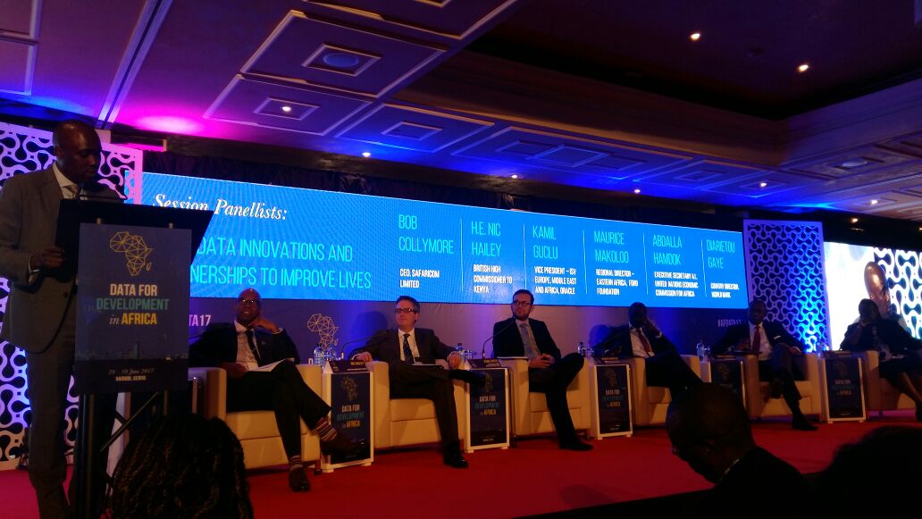
HIGH LEVEL MEETING FOR DATA AND DEVELOPMENT IN AFRICA
The world is rapidly changing especially towards Information and Technology. To run societies effectively, governments and all stakeholders are increasingly working towards getting quicker solutions to highlight and solve societal problems. This has been made easier by the use of data in order to capture , store, analyze and present different parameters of interest in different sectors of economies and society. Data has therefore been embraced with this respect.
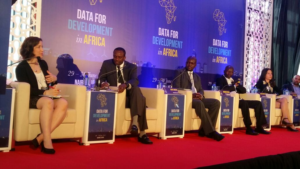
Data for Development in Africa was an important meeting that saw different governments and institutions come together in order to create a common ground to be able to achieve Sustainable Development Goals, that offer a pathway for countries, especially developing ones, to achieve development at both Economic and Social levels. The meeting was held for two days 29th-30th June 2017 in Nairobi. The theme was ‘Unleashing the Power of Data & Partnerships for Africa’. Among the key topics of the day were: Data for Agriculture, Livelihoods and Economy; Using data innovations and partnerships to improve lives; Mainstreaming data innovation at National level; Accessing vital services; data that leaves no- one behind; New skills for new data needs; developing home grown talent; Developing Institutional and Human capabilities. In line with the topics of the day, the first day of the meeting saw the various speakers highlight how data was central in service delivery, research work and generally on addressing human and environmental issues. African countries were the best example as they offered insight to the use of data at both local and national level.
The second day of the meeting focused on the implementation of the data revolution as the multi-stakeholder panel discussed with the audience on how tools, technologies, hubs and approaches to take forward the discussion from the previous day. Different organizations were also given the opportunity to showcase their work with respect to the use of data in highlighting and addressing societal challenges for the realization of development in Africa. This saw our organization, Map Kibera Trust, attract positive attention on our effort to map social amenities in the slums of Kibera and basically offering great insight to the gradual development of the region over the past decade. This was also a great opportunity to share our partnership and joint works with the Youth Mappers in the recent past, and showcase our assistance in mapathons especially towards the fight against the spread of HIV & AIDS, environmental disasters and malaria.
We thank The Government of Kenya and The Global Partnership For Sustainable Development for facilitating the High Level meeting. It is through such efforts that a common ground is created to allow for the bridging of gaps between Public, Private and Non Governmental Organizations to work towards a common goal.
Guest post by Phylister Mutinda and Peter Agenga from University of Nairobi Youth Mappers
A 38Km road from Entebbe International Airport to Kampala was not an easy ride. I never thought there could be such bad traffic in Kampala like Nairobi. I have always known Nairobi to be a crazy city but Kampala was equally CRAZY…
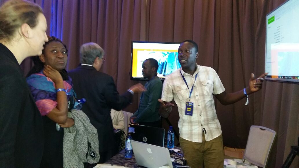
I have been sponsored by Mapbox to attend and represent Map Kibera at the very first State of the Map Africa conference, held at Makerere University in Kampala, Uganda. The event was organized by OpenStreetMap Africa community, most of whom I have only been able to meet online. This was a great opportunity to now meet them in person.
I arrived at Bativa Hotel at around 1930 hrs and I can’t pay for my cab ride of UGS 90000 and my Hotel accommodation — because I forgot to change my money at the airport. By boda (motor bike) the security guard at the hotel offers to escort me back to Kampala town where I would be able to change my Kenya Shillings into Ugandan money. It was nice to see how Kenyan money had more value over Ugandan money.
Back to the hotel I got my room and grabbed some dinner before to sleep. My presentation was at 13:30, day 1 soon after lunch, a generally bad time for the obvious reason, but it was ok!
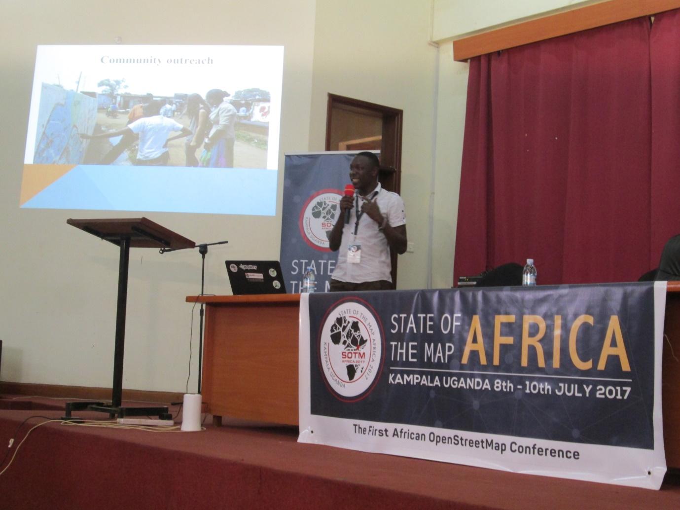
When I took the stage to present Map Kibera, I knew in the back of my mind that most of the folks in the room already knew about Map Kibera and so I needed to tell them something new, something unique. Around 150 persons representing 21 countries across Africa eagerly listened to my session. It always amazes me when talking to people who know or perhaps have a rough idea about my community Kibera. Most of the guys did know. I talked about how Map Kibera couples its mapping with citizen journalism giving people a platform to speak about some of the issues highlighted by the map. I also shared how we train and empower other communities to map their own communities locally and tell their own stories in their own perspective.
This is one of those events that you meet some of the most amazing people in the world and get to learn how the world has become a global village. A lot of mutual friends and people who know people who know people that you know. A nice feeling indeed! This is the time you also meet people who are working round the clock to make Africa and the world a better place. I was particularly impressed by the team from Malawi, Uganda and Tanzania. Good job out there! Am always tempted to mention Geoffrey of Uganda, his dedication to this course was outstanding, for real, along with the other organizing committee members.
We had both French and English speaking countries represented, and so translation was necessary back and forth. It kind of slowed down the process but we are a community who tries to be all inclusive and walk together. I loved the sense of togetherness and oneness amongst the OpenStreetMap Community. Mapathon day 1, cocktail day 2 and football at the end were some of the most bonding moments for all of us.
I can also not forget the amazing presentation by Ramani Huria. I saw a lot of similarities with Map Kibera — naturally there is a longhistory here between the two communities. I first met them in Nairobi 2016, during the Open Data Fest conference, but their presentation in Kampala was one of a kind.
And finally, I can never forget the ambush by one of the organizers Clare, telling me to give a final remark and share experience at a panel on how to strengthen and foster the emerging OpenStreetMap Communities in Africa. Yes I said, so long as I know what we do and what Map Kibera stands for, it should be fine.
What a great time in Kampala! Big thanks to Mapbox and all the sponsors that helped bring us together.
In October 2016, Map Kibera helped found a chapter at University of Nairobi of Youth Mappers, a project supported by USAID’s GeoCenter which aims to see more university students learn to use OpenStreetMap globally. Students worked on field mapping of basic infrastructure and features such as water points, toilets, health centers, schools, and other public facilities in the Mathare slum with members of Map Mathare.
The participating students were from various University of Nairobi departments including the Department of Geospatial and Space Technology, the Department of Geography, the School of Business, School of International Development, and Center for Urban Research and Innovation. To see a brief interview of some students during the training session, click this link.
The Youth Mappers blog
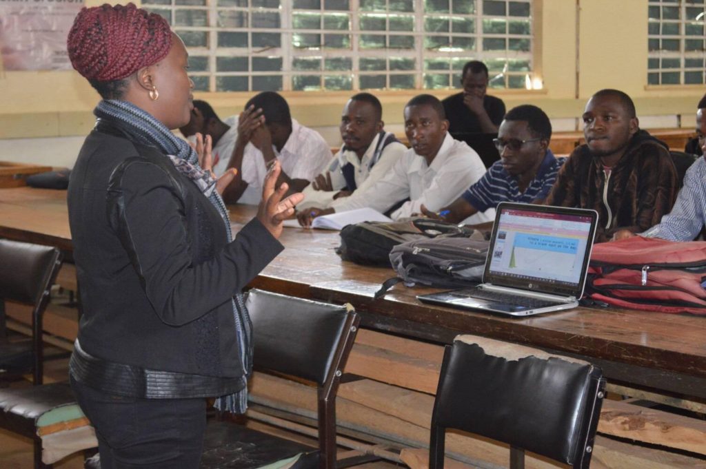
The following month, Map Kibera took a trip to Eldoret’s Moi University to train the Geography students Youth Mappers association of Moi University about OpenStreetMap.
The first day, after an introduction by Sharon, the student leader of the Moi University, Lucy Fondo presented about Map Kibera Trust and its work through the years in the slum of Kibera and in other Nairobi’s informal settlements. Then, Joshua Owino of Map Kibera team mentioned the other projects such as the YouTube channel news of Kibera News Network, the SMS reporting platform Voice of Kibera and the photo storytelling Humans of Kibera and how they are used as citizen journalism tools to tell more stories about issues highlighted on the maps.
During the session, Phylister Mutinda from University of Nairobi shared her personal testimony about Youth Mappers experience during the University of Nairobi chapter: “This program helped me a lot for my studies. It was a good opportunity of practice what I’ve learned in theoretical classes about field mappingâ€.
Lucy Fondo presenting about Map Kibera Trust
Joshua Owino talking about the Map Kibera projects
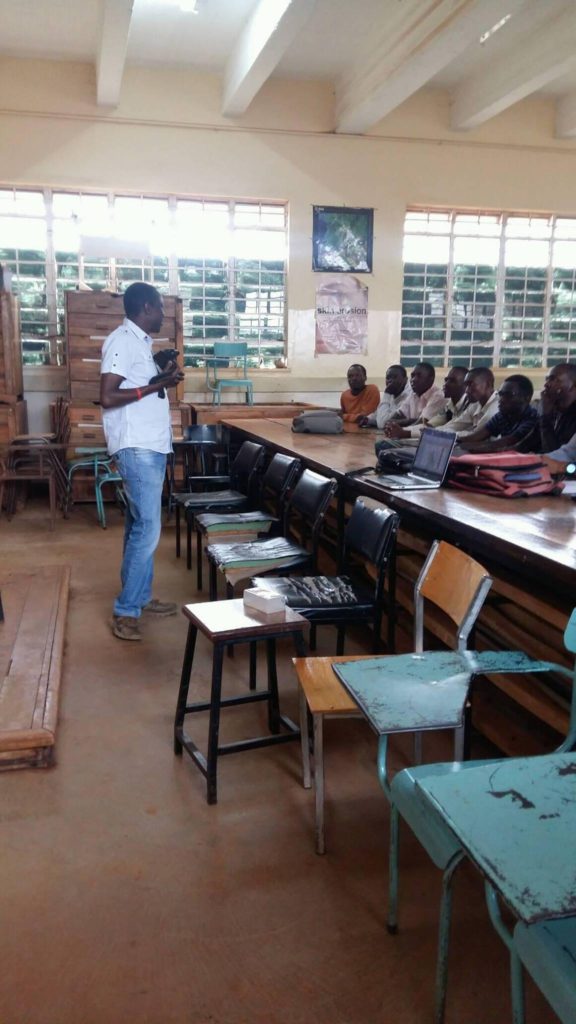
Later, Zack Wambua introduced the Youth Mappers programme and OpenStreetMap platform. “It’s important to create a network of students who share their own personal experiences on mapping, using the free open source map OSM in order to create spatial data that is free and available for everyone to download and to use for their specific workâ€, he stated.
After a brief presentation of the whole training, the students were able to create their own OSM accounts.
Zack Wambua introducing the Youth Mappers programme and OpenStreetMap
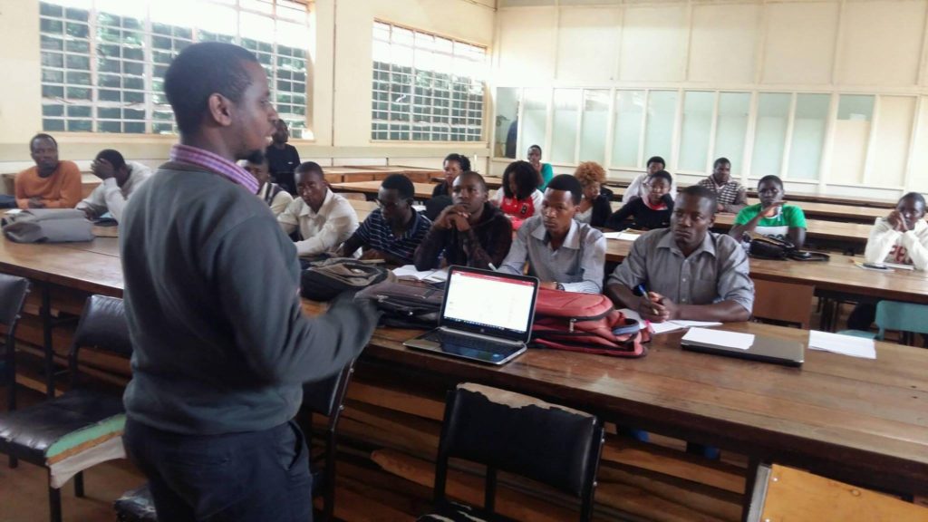
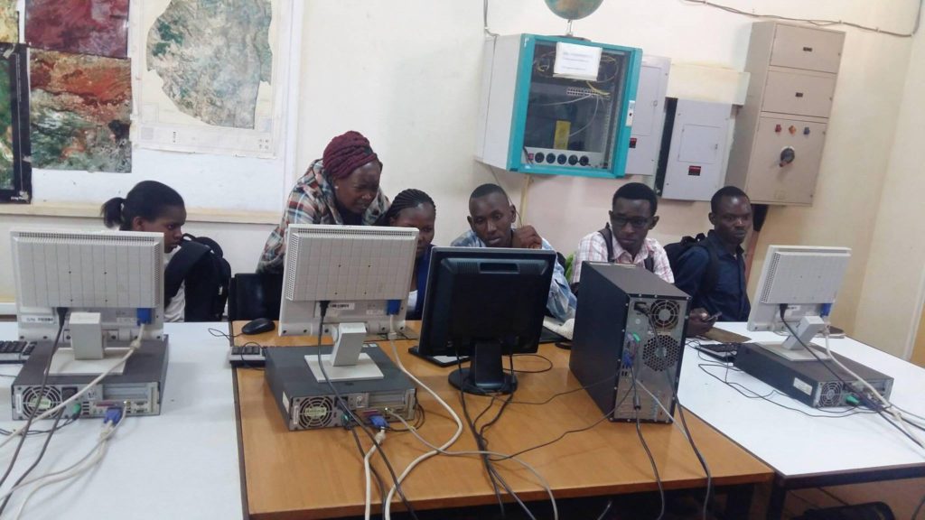
The second day, the practical training started with Zack Wambua in one of the GIS Laboratories of the University. He demonstrated how they can contribute to OSM both through the ID editor, a web based editor, and the JOSM offline software to add map features, such as point of interest, roads, rivers, buildings and boundaries. Later, the students were able to practice with a mapping exercise in groups to map buildings and roads of the main campus.
Lucy Fondo during the training
Later this year, Map Kibera plans to return to train the students in a field mapping exercise in an unmapped informal settlement of Eldoret.
Watch the final video of Kibera News Network about the training at Moi University: