by: primoz February 14th, 2011 comments:
We’ve completed the base map of Mathare. It took us 17 days during which 15 mappers (on average each day) would map and edit for an average of 5 hours per day. That accumulates up to 1250 man hours. Of course the exact figure of man hours is much lower mainly due to a limited number of computers and equipment which resulted in many of the mappers just strolling along or observing the creation of the map from afar. We have mechanisms prepared for this type of instance, as we want everybody interested to learn and contribute. One of these mechanisms, which we implemented in the last two weeks of mapping, is rotating venues.
If I throw some statistics at you, the base map has – or, if I put it differently, mappers have collected, edited and digitized:
- 750 points
- 41.3 km of roads and paths
- 24 Mathare villages digitized, altogether an area of 3006444 m2 3.0064444 km2
- 138 buildings digitized, altogether an area of 58322 m2 or 0.058322 km2
- Other areas digitized (walled areas, fields, football and recreational pitches, natural areas, etc.)comprise 360602 m2 0.360602018 km2
Below is the base map where the first map (Map 1) presents only the points collected and the second map (Map 2) presents the types of resources collected (represented by points), such as hospitals, toilets, water points, schools, religious institutions, etc.
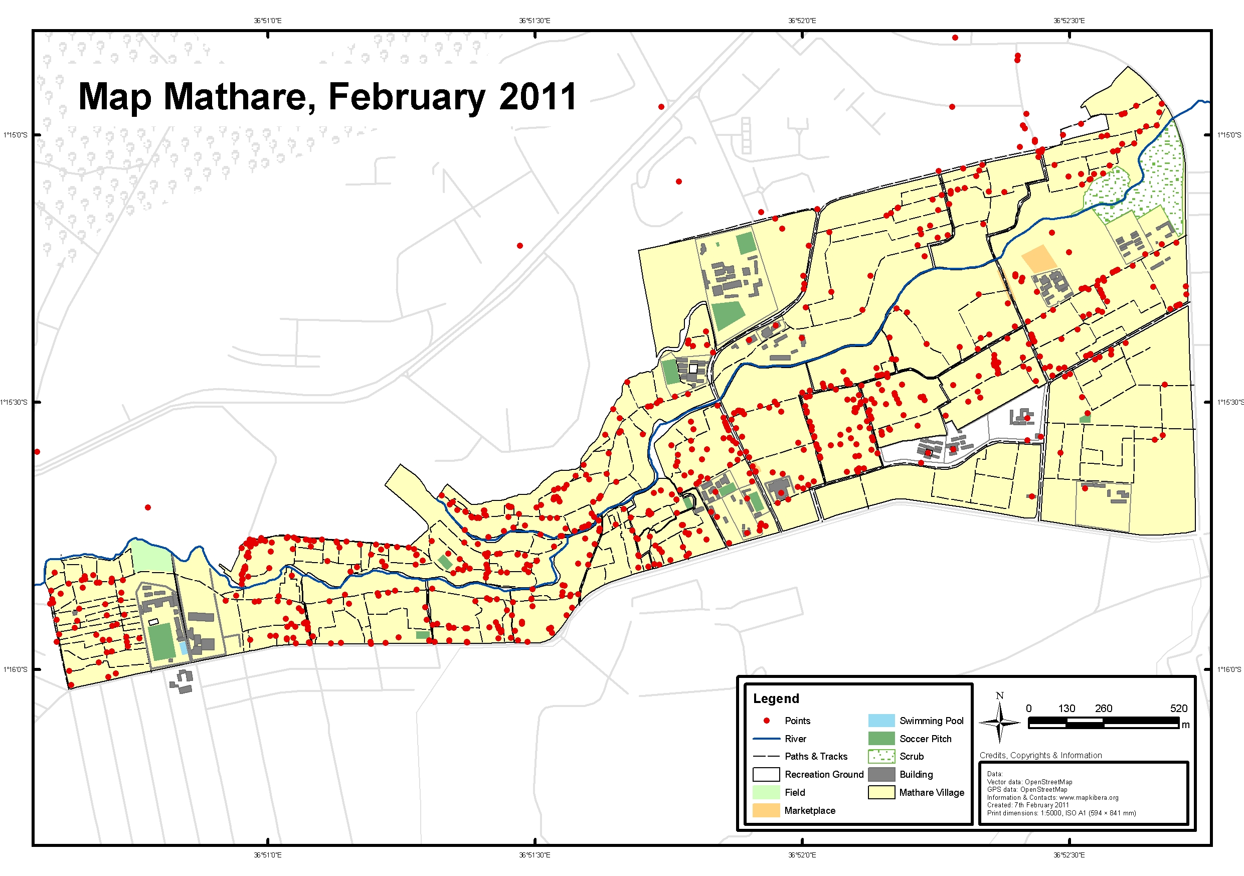
Map 1
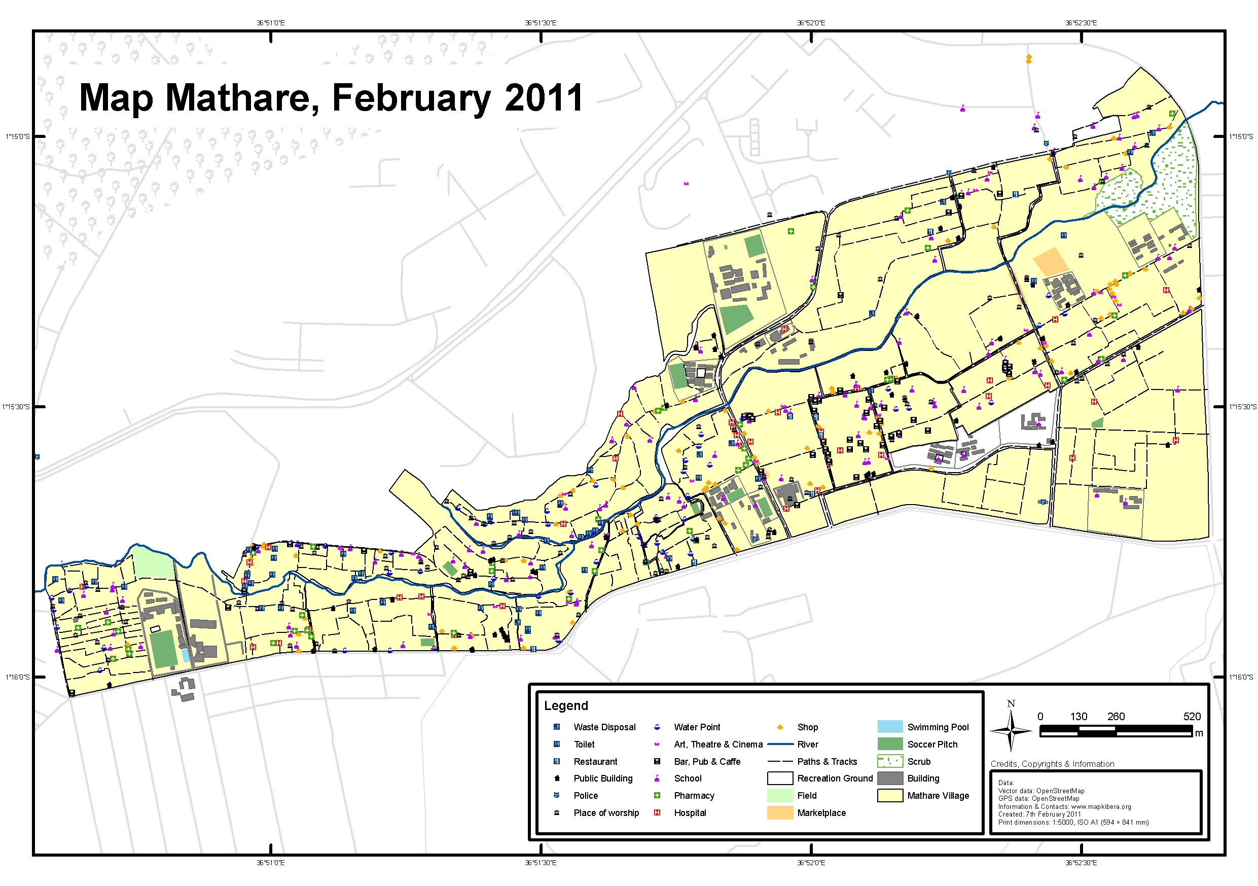
Map 2
by: primoz February 9th, 2011 comments:
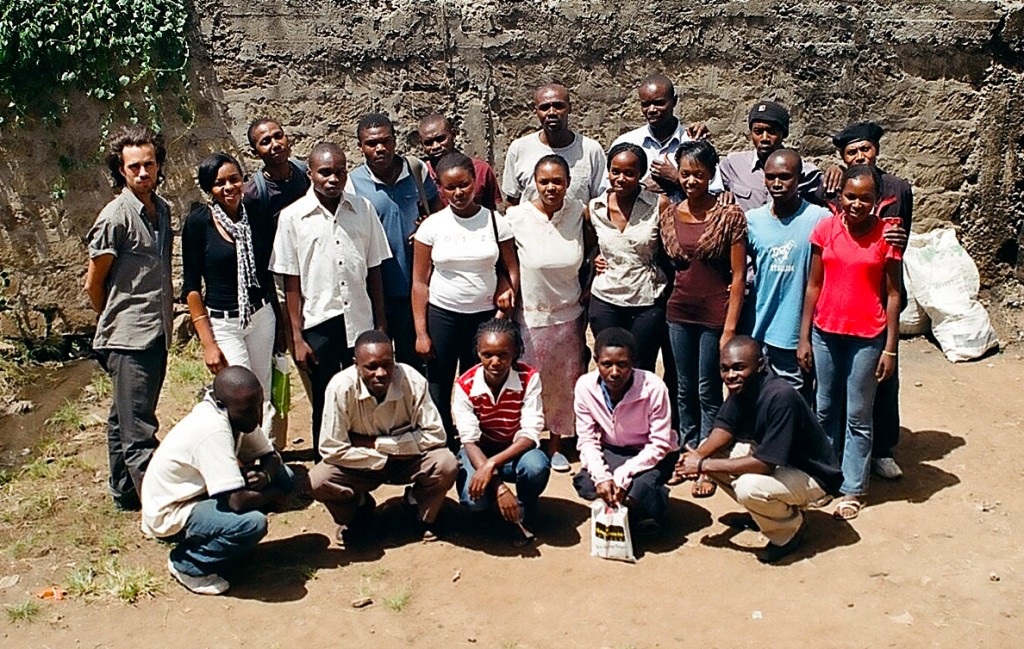
Mathare & Kibera video teams
“I want to learn how to make video for a wedding.“ Joel told me. Joel is one of the “students†who come for the Map Mathare video training. Joel is 65.
We have had an open door policy for this program and it has been interesting seeing who comes for every class and who shows up once, never to be seen again. Some you can tell are fascinated but are too shy to get hands on. We felt that it was important that the students decide what kind of videos they want to work on.
First we went through what it takes to come up with the concept of a video. This is called Pre-Production. We went through Pre Production, Production and Post production. After six classes, the students had put together three videos covering a variety of issues surrounding their communities: the lack of toilets, broken sewers which plague the streets and land grabbing which leads to non existent playing room for children. One more video is being edited about poor road conditions and the high level of accidents.
I started making videos 16 years ago. I only wish I could say my first videos were as impressive as the ones these bright students have put together. Their videos are colorful, interesting and evoking. I can only imagine what these guys will be capable of if they continue showing interest.
We will be doing some more videos similar to the ones they have just finished but we will also be drawing on their imaginations because video is one of the most powerful tools for exploiting ones vision, ideas and purpose. I look forward to seeing where they will take it. And I hope Joel will be with us along the way.
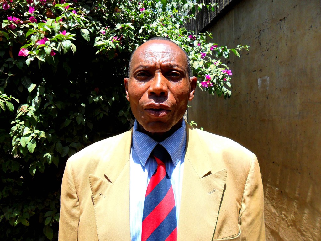
Joel
by: primoz February 2nd, 2011 comments:
This is a visual representation of the amount of data which was collected in two days of field work and put into OSM in two days of editing in December 2010. Points and lines were collected using GPS units and village boudaries were digitized over satellite imagery.
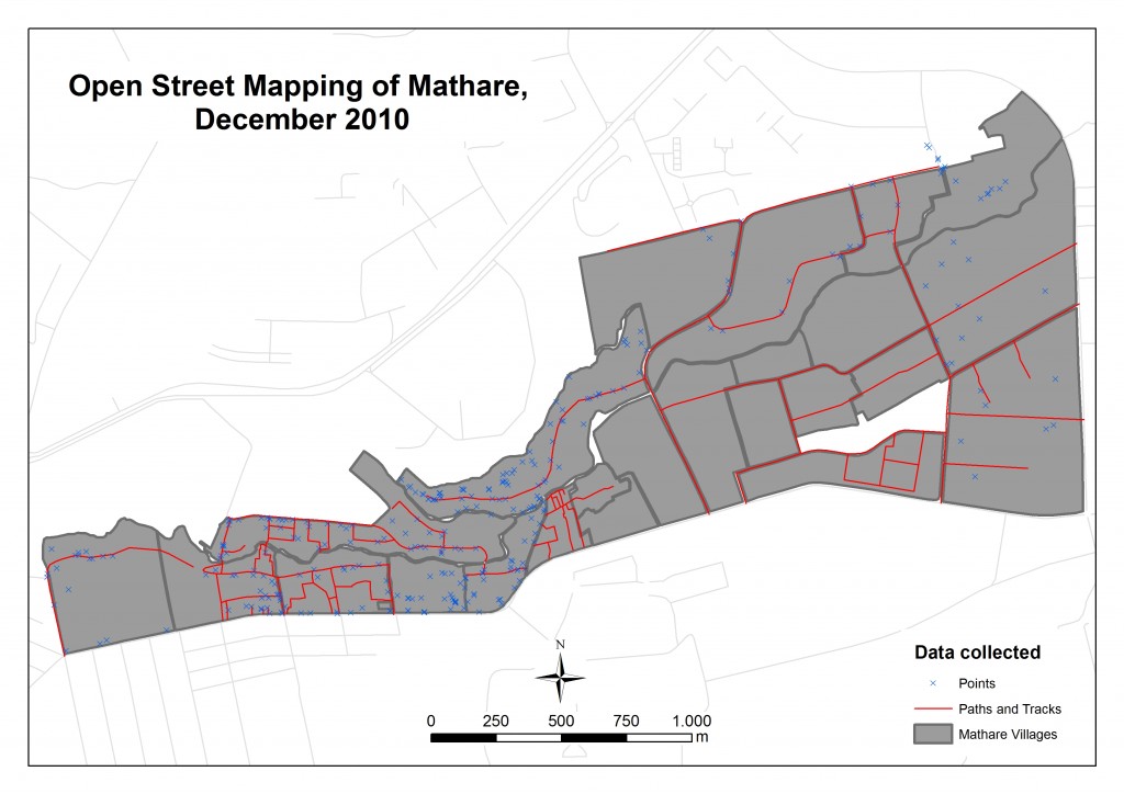
Visual representation of OSM data collected and edited in December 2010 in Mathare
More of the same: www.mappingnobigdeal.wordpress.com


