Misinformation and disinformation pose a challenge to development, governance, public health, and human security efforts around the world.
Una Hakika logo
As communications technology has become more widely distributed in the developing world, the spread of inaccurate, incomplete or fabricated information is an increasingly significant threat to peace and stability, particularly in regions with limited access to reliable third-party media. Through the use of WikiRumours, a workflow and technology platform, it is possible to count the spread of false information ensuring transparency and early mitigation of conflict.
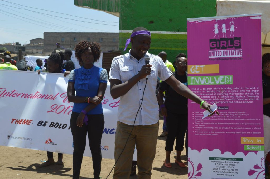
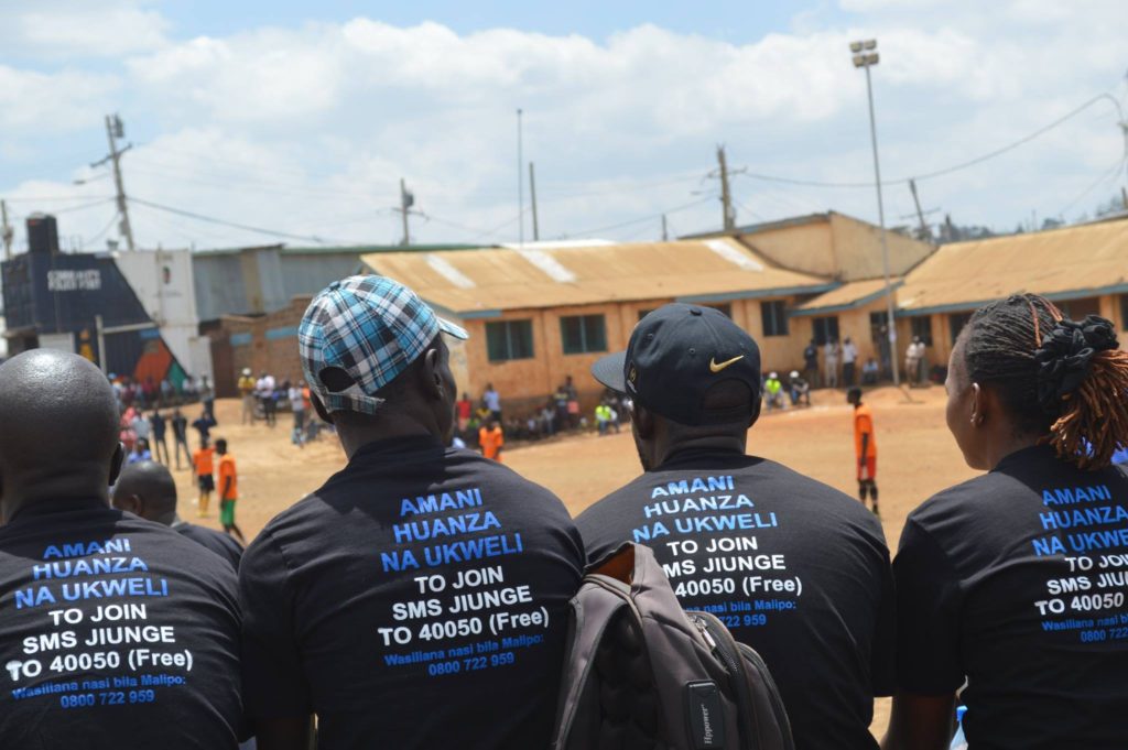
Map Kibera Trust together with The Sentinel Project have launched the “Una Hakika?†project (in Eng. “Are you sure?â€) in two different informal settlements of Nairobi: Mathare and Kibera. Before, during and after the elective season, people can subscribe and report rumors anonymously through SMS free of charge at the number 40050. All the rumors are collected on the WikiRumors, prioritized and verified through a network of trained Community Ambassadors on the field and trusted sources, whether they are true, false or impossible to verify. Through the same platform, the verified information is then sent in a SMS to all the subscribers interested in that area, in order to avoid the beginning of possible violence and the spread of misinformation. Moreover, people can also report rumors calling for free the number 0800722959 or directly contacting the Community Ambassadors in their area. Intervention, when necessary, might be the last step of the process, aiming to involve community partners such as chiefs, elders, youth leaders and women’s representatives.
Joshua Ogure speaking at the launch of the Una Hakika? project in Mathare
The launch of Una Hakika? project in Mathare
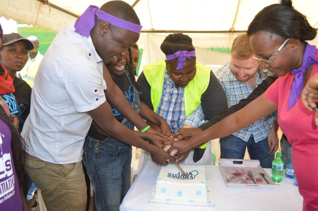
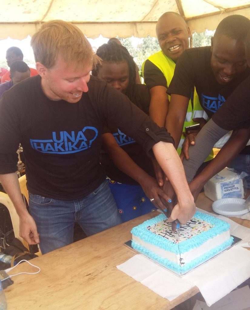
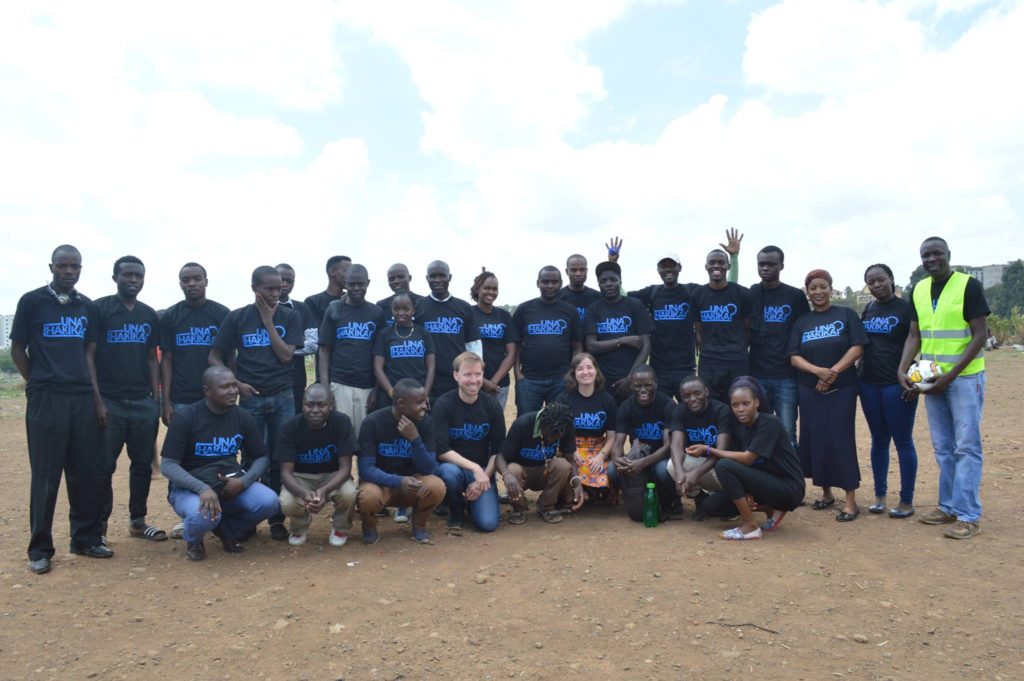
On the 14th April, the project was launched also in Kibera by Map Kibera Trust in partnership with The Sentinel Project and Carolina for Kibera, promoting also Sports and Art initiatives for Peace. The launch saw different groups performing Art, coral verse and inter-ward football teams play at Undugu grounds Kibera.
Una Hakika? launch event in Kibera
Una Hakika? launch event in Kibera
Una Hakika? launch event in Kibera
Community Ambassadors and Map Kibera staff at the Una Hakika? launch event in Kibera
In October 2016, Map Kibera helped found a chapter at University of Nairobi of Youth Mappers, a project supported by USAID’s GeoCenter which aims to see more university students learn to use OpenStreetMap globally. Students worked on field mapping of basic infrastructure and features such as water points, toilets, health centers, schools, and other public facilities in the Mathare slum with members of Map Mathare.
The participating students were from various University of Nairobi departments including the Department of Geospatial and Space Technology, the Department of Geography, the School of Business, School of International Development, and Center for Urban Research and Innovation. To see a brief interview of some students during the training session, click this link.
The Youth Mappers blog
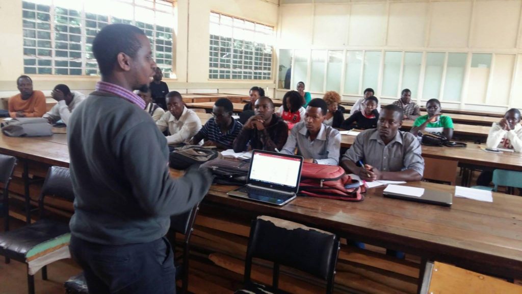
The following month, Map Kibera took a trip to Eldoret’s Moi University to train the Geography students Youth Mappers association of Moi University about OpenStreetMap.
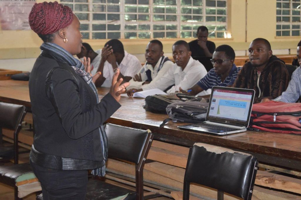
The first day, after an introduction by Sharon, the student leader of the Moi University, Lucy Fondo presented about Map Kibera Trust and its work through the years in the slum of Kibera and in other Nairobi’s informal settlements. Then, Joshua Owino of Map Kibera team mentioned the other projects such as the YouTube channel news of Kibera News Network, the SMS reporting platform Voice of Kibera and the photo storytelling Humans of Kibera and how they are used as citizen journalism tools to tell more stories about issues highlighted on the maps.
During the session, Phylister Mutinda from University of Nairobi shared her personal testimony about Youth Mappers experience during the University of Nairobi chapter: “This program helped me a lot for my studies. It was a good opportunity of practice what I’ve learned in theoretical classes about field mappingâ€.
Lucy Fondo presenting about Map Kibera Trust
Joshua Owino talking about the Map Kibera projects
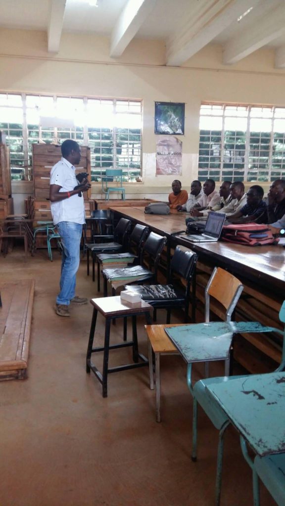
Later, Zack Wambua introduced the Youth Mappers programme and OpenStreetMap platform. “It’s important to create a network of students who share their own personal experiences on mapping, using the free open source map OSM in order to create spatial data that is free and available for everyone to download and to use for their specific workâ€, he stated.
After a brief presentation of the whole training, the students were able to create their own OSM accounts.
Zack Wambua introducing the Youth Mappers programme and OpenStreetMap
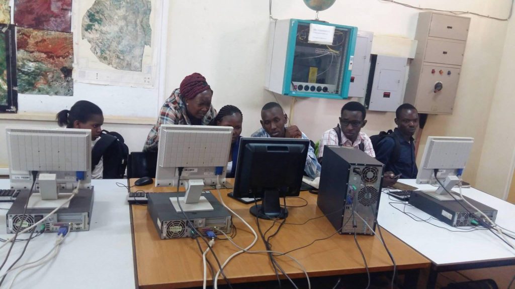
The second day, the practical training started with Zack Wambua in one of the GIS Laboratories of the University. He demonstrated how they can contribute to OSM both through the ID editor, a web based editor, and the JOSM offline software to add map features, such as point of interest, roads, rivers, buildings and boundaries. Later, the students were able to practice with a mapping exercise in groups to map buildings and roads of the main campus.
Lucy Fondo during the training
Later this year, Map Kibera plans to return to train the students in a field mapping exercise in an unmapped informal settlement of Eldoret.
Watch the final video of Kibera News Network about the training at Moi University: